|
||
|
||
| Visiting
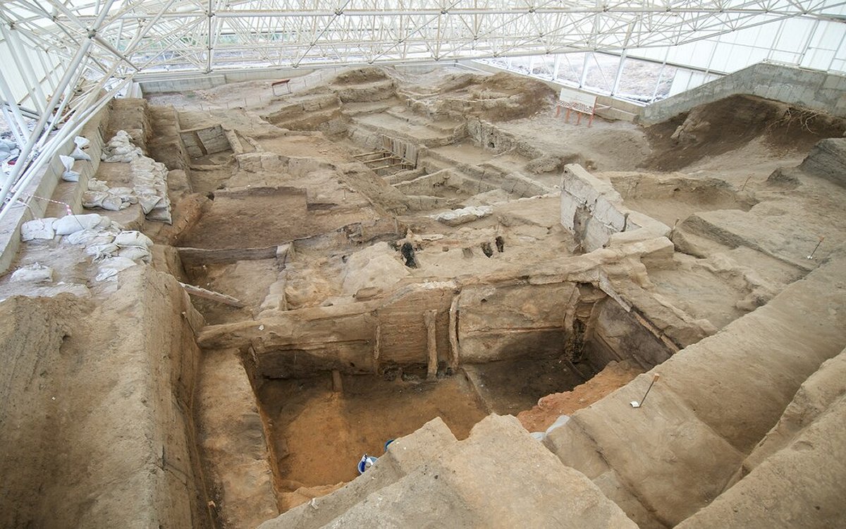
Çatalhöyük
The site of Çatalhöyük is situated on the Konya plain, ca. 50 km southeast of the city of Konya, Central Turkey. It is a large (13 ha) tell settlement made up of two distinct mounds, separated from one another by the former course of the Çarşamba River: older, East Mound, dated back to the Neolithic period (ca. 7100-5950 B.C.) and younger, West Mound, assigned to the Early Chalcolithic (ca. 6000-5500 B.C.). Due to its large size and complexity it is counted amongst the so called Near Eastern megacities. In 2012 the site has been inscribed on the UNESCO World Heritage list. The site is open daily all the year round. However, the best time to visit is in summer, during the excavation season. The excavation season runs from July until August/ September.
Getting to Çatalhöyük Çatalhöyük is located ca.
50 km to the southeast of the city of Konya, near the town of Çumra.
By car/taxi: you can rent a car or take a taxi from Konya. By bus: Buses (dolmuses) are available from Konya. They depart from Eski Garaj in the city center. The direction is Küçükköy - Karkin. The bus stops at the village of Küçükköy which is 1 km from the site, but the driver, when told, can take you directly to the site.
A guidebook
and a site
map are available to download...
|
|